Home » Territory, Nature
The Districts
The eleven environmental, tourist-cultural districts of the Park
The research of a development model that could adapt to a territory strongly influenced by its width, led to the successful choice of dividing the Park into 11 environmental tourist-cultural Districts.The division into districts enabled the Park Authority to directly involve the local governments, through important partnership agreements with the superordinate provincial and regional entities, making it possible to operate even outside the protected area's borders, but within the Municipalities of the Park.
The districts have been conceived for a territorial use which is on the same wavelength with its environmental and landscape qualities.
The borders are merely virtual, but they are necessary to identify homogeneous areas were coordinated actions can be implemented for the enhancement and management of the tourism flows.
The main goal is to enhance the potentiality of each district, working in order to make the promotion of the environmental and cultural resources harmonize with the economic and social structures present in the territory. By improving the tourism competitiveness through equipped itineraries, visitor centers, information points and services for the reception and the entertainment of the visitors, we are considering to achieve several social and economic benefits for the people and the operators working in the territory.
The expected benefits:
- Combined management of the territory and its resources.
- Redeveloping the tourist enterprises through the development of quality labels.
- Diversification of the tourist offers according to the tourism categories (familiar, school, elderly, hiking, sport, religious, cultural, wine-and-food tradition) and according to alternative models, also through the recovery of buildings and typical farmsteads.
- Boost and diversification of the tourism flows, with particular attention to the foreign markets.
- Extension of the tourist season and of the average stay of visitors.
- Development of new job and business opportunities.
- Improvement of the inhabitants' life conditions.
- Enhancement of habits and customs and local traditions.
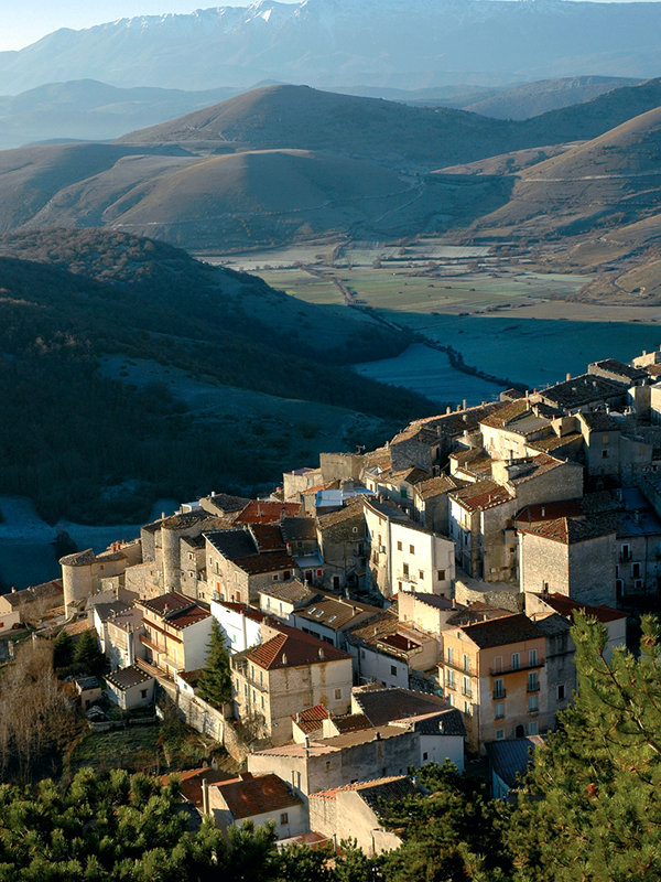
Castel del Monte
(photo by M. Anselmi)
(photo by M. Anselmi)
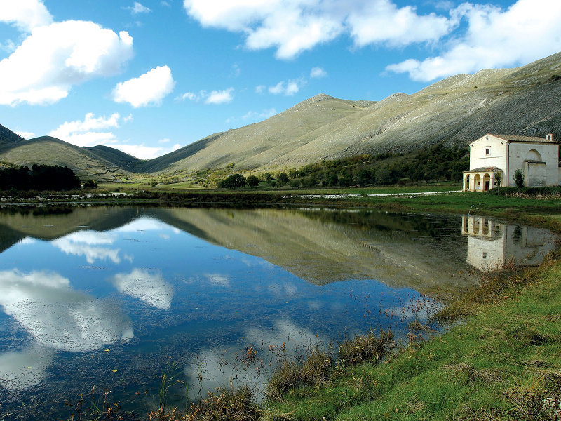
Santo Stefano di Sessanio small lake
(photo by M. Anselmi)
(photo by M. Anselmi)
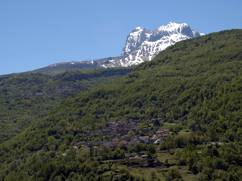
Intermesoli
(photo by M. Anselmi)
(photo by M. Anselmi)